Fox Route 3
![]()
![]()


Map | 23 Miles | 3 Locks | Short Break
Google Waterways Map – GPS & 400 POI’s
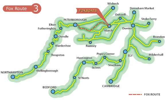
Route 3 – March to Ferry Meadows Country Park
12 hours cruising return trip – ideal for a short break
3 day short break 4 hrs cruising per day (intermediate)
Highlights
- Free moorings
- Peterborough Catherdral
- Nene Valley Steam Railway
- Nene Valley Park
- Miniature railway
- Pony riding
- Fishing
Floods Ferry & Greenwich Meridian
Turning right from our marina along the Old River Nene this route passes Floods Ferry (long term moorings only) and crosses the Greenwich Meridian. Beyond this is Floods Ferry Junction where the Old Nene forks left and our route turns right down Whittlesey Dyke.
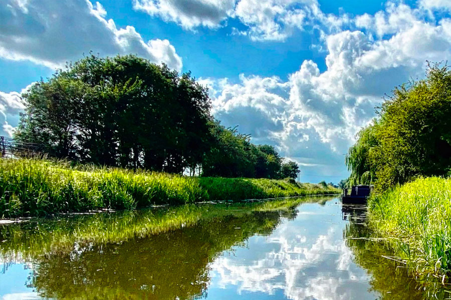
benwick nene river cruise (off route 2 miles) | credit kevin banks
Whittlesey
After three miles cruising you approach Angle Corner where to the left Bevill’s Leam joins our route and opposite on the right is the entrance to the Twenty Foot River. Continuing straight on you find the dyke narrows as the outskirts of Whittlesey are approached. Ashline Lock (a boater operated manual lock) marks your arrival at this historic market town and above the lock there are visitor moorings next to the Leisure Centre.
Peterborough Approach
Soon after leaving the Whittlesey moorings there is a bridge on a 90° bend which even an experienced boater must treat with respect. You then pass two of the many pubs in the town before heading through some more open country and travelling beside a deep brick pit. Brick making has long been an industry of the town and of much of the area east of Peterborough although most of the clay pits are now worked out. On the approach to Peterborough the cathedral can be seen clearly visible across the flat fields that lead to Stanground Lock.
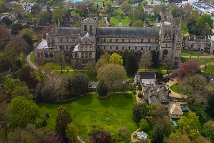
peterborough cathedral licenced
Peterborough City
A short branch of the River Nene leads from the lock, with Stanground Village on the left and a nature reserve on the right, before we go under the railway bridge that takes us out onto the wide waters of the Nene. Turn left here and you will find visitor moorings along the length of the park which are convenient for the city centre.
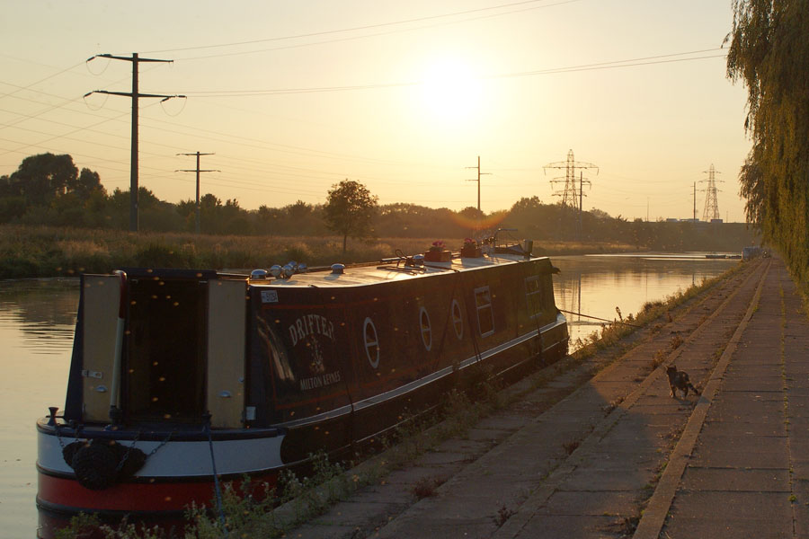
peterborough embankment narrowboat | credit jan pickles
Nene Park
As you cruise up river from the centre of Peterborough you will see on the right a series of open spaces and wild areas that form part of the huge Nene Park that occupies some 500 acres of meadows, lakes and woods and runs for around six miles alongside the River Nene. You pass the entrance to the channel that leads to the rowing lake then the sculpture park can be seen. The entrance to the park is served by Nene Valley Railway at Ferry Meadows which has steam trains, 7 miles of track and 3 stops.
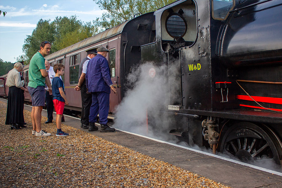
nene valley railway stream train nene park licenced
Ferry Meadows Country Park
Two miles up river from Peterborough Bridge is Orton Lock the first of a series of Guillotine locks that are a feature of the Nene. The Guillotine gate is electrically operated by boaters but the top mitre doors (gates) must be manually operated. Above the lock are the moorings of the Peterborough Yacht Club and then you come to the entrance to Ferry Meadows Country Park which is on the left just before the footbridge that crosses the River Nene. A short connecting channel will take you into Orton Lake, one of the many lakes in the park. Head towards the left-hand side of the lake and you will see the pontoons provided for visitor moorings.
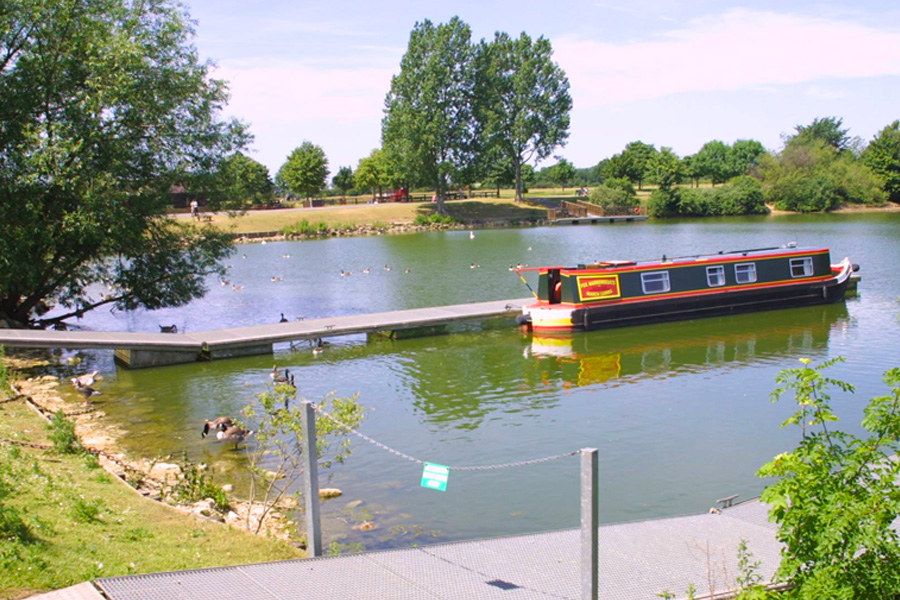
ferry meadows nene park fox narrowboat break
Ferry Meadows is the focal point of Nene Park and offers offering a Caravan Club site, cycle hire, visitor centre, shop, play areas, miniature railway, cycling, walking, kite-flying, pony riding, nature-spotting and fishing as well as substantial facilities for various water sports at the water sports centre and on its associated ponds and lakes.