If you have ever wondered…
Where’s the nearest pub?
Is there a shop near here?
And where can I moor?
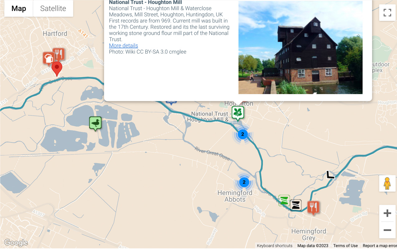
Our new interactive waterways map has the answer. It shows where you are on the navigation and what useful things you might find nearby. So for example, if you are moored in March on the Old River Nene, by the park; the map will show you that you are near to a Sainsbury’s store, the museum, and the Oliver Cromwell restaurant. Icons make it really easy to see nearby shops, restaurants, pubs and places of interest. You can use the map on your smart phone, tablet or laptop, to find your next mooring and plan your route. (All of our boat have WiFi.) Or when you arrive you can just moor up and then check out what happens to be nearby.
waterways google map march
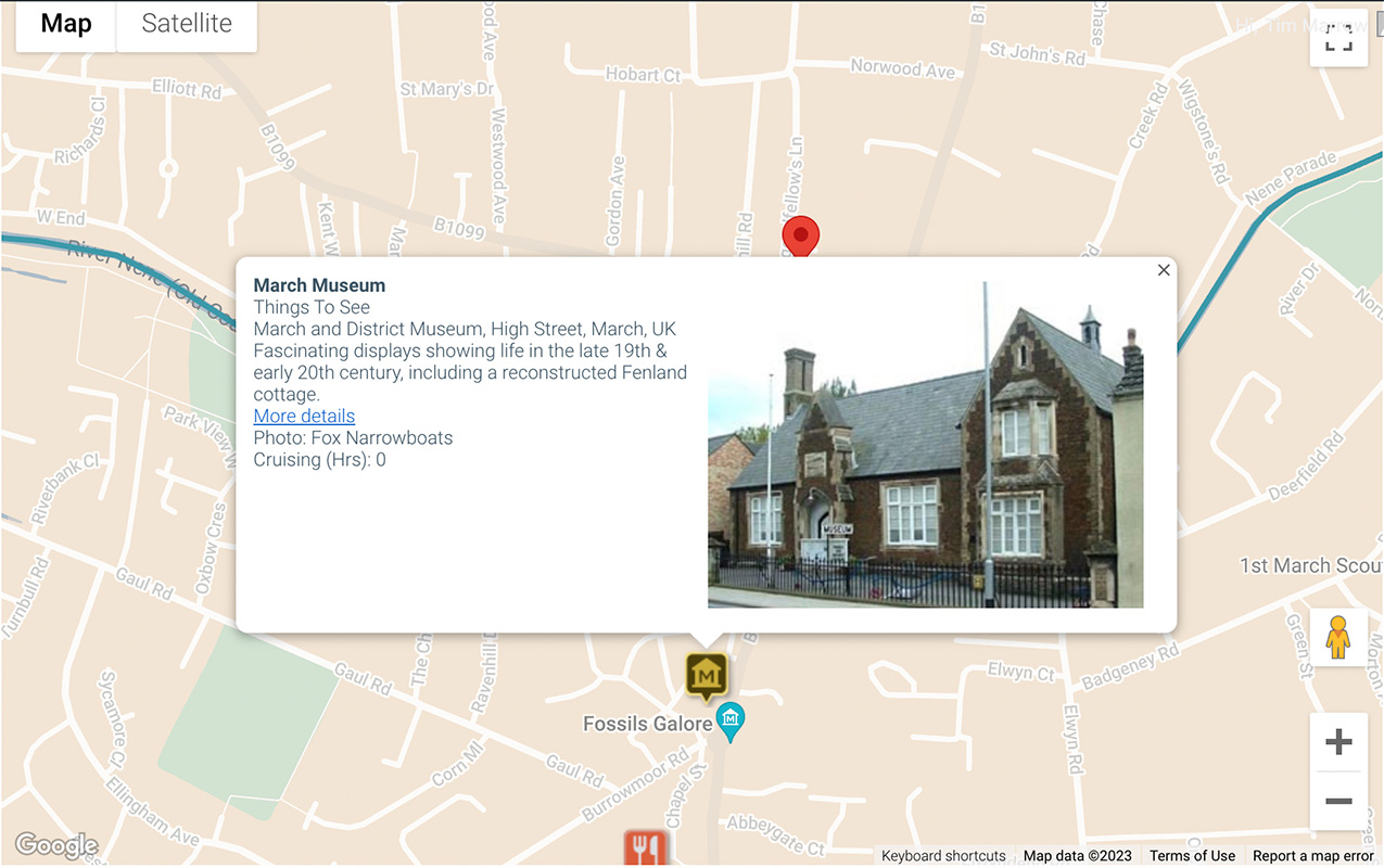
Business icons may have a link to more details. So for example, The Oliver Cromwell restaurant link takes you straight to the hotel website, where you can check the menu and book a table. Tapping the March Museum icon displays a photo of the museum, and a summary of what you can see there, plus a link to the website to find out the entry costs and more. (Spoiler alert: Admission is free!) March museum is in the heart of the town centre and offers a fascinating insight into our local social history through a number of displays and collections, with interactive elements.
iphone waterways map
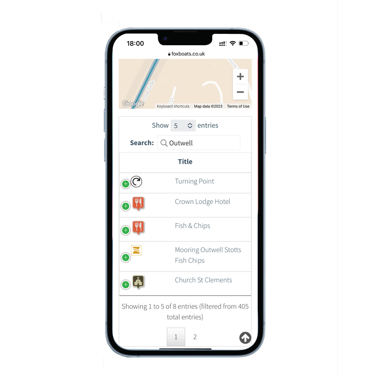
Our hire boat marina is based in March, but you’ll soon want to head off exploring the waterways with your boat, and this is where the map comes into its own. You can easily zoom in and out of the map using your fingers on a hand-held device. The map is based on Google maps, so it has all the same functionality; such as viewing areas in map view, satellite view and street view. If you search for your intended destination, for example, “Outwell”, the map will display the general area, so you can look at your mooring options before you arrive. Food options in Outwell include Stotts Fish and Chip shop, or the Crown Lodge Hotel. A local place of interest on the map is St Clements Church. Clicking the icon brings up the address, a brief description and a photo of the church.
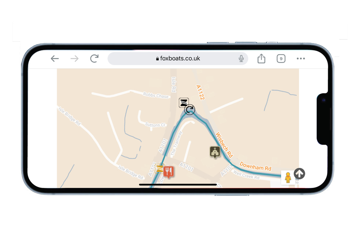
Navigation information such as turning points, locks and moorings are included; and boating services such as pump-out and water, rubbish, recycling, and elsan emptying. There are also navigation notes, such as warnings of underwater obstructions, staunches or fast flowing water.
search and filter map POI’s
You can filter the results displayed on the map, for example to show only historic sites, nature reserves, only railways stations or only locks. Select what you are looking for, and then zoom out to see all of our local waterways, and view how many options there are. Zooming out you can really see how much waterways there are to explore in the Fens. The River Nene will take you west to Wadenhoe, the Cam will take you south to Cambridge, and the Little Ouse River will take you east to Brandon, a pretty Suffolk market town. Explore the ‘Things to See’ filter to discover historically significant churches and unusual local attractions like Stretham Old Engine Museum.
You don’t have to wait until your narrowboat holiday to use this map though. Check it out now, and have a play around. You can plan your ideal route and think about the things you want to see and do on your next boat trip.
See the map now: Fox Narrowboats Fenland Waterways Map
For free walking and cycling maps check out: Exploring the Fens on Foot with Minimal Effort
Don’t miss more articles about what to see and do when narrowboating in the Fens: Sign up to follow this blog in the sidebar on the right.